
Savage Previous Residents by Era
Work backward from the newest dated record, then change sources as the years recede. Scott County's current parcel tools establish the address, parcel identification number, and legal description. The public land index supplies a document trail from its stated computerized start, while the telephone books, newspapers, and census materials add the household layer. This division matters: a recorded transfer identifies parties to a transaction, not necessarily the people who occupied the address. A directory or census entry is also dated evidence, not proof of an uninterrupted stay.
| Record source | Period available | Custodian or access point | Best use in a house trail |
|---|---|---|---|
| County computerized land index | 03/01/1985 through the posted date | Scott County Land Records public index and RecordEASE | PID, document, and related-document trail, subject to posting lag |
| Property and GIS records | Current tax year and retained sale data | Scott County property portal and ScottGIS3 | PID, situs, legal description, sale rows, and parcel context |
| Savage telephone directories | Verified rows begin in 1936 and continue in later decades | MNHS Gale Family Library | Dated name, phone, and address associations |
| Savage newspapers and cards | 1962 to 2014 microfilm; card-file span varies | Scott County Historical Society | Notices, obituaries, local events, and address context |
| Census and court material | Census access follows the 72-year rule; court files 1854 to 1932 | SCHS and MNHS holdings | Household composition and probate-adjacent leads |
Start with a likely era, not a guessed person. The table helps separate a present-day tax reference from a historic household source and keeps the previous-residents search tied to what each record can actually establish.
Start Savage Resident History with PID
The Scott County property information service is the practical first stop for a Savage address. Search with the house number and the first few street characters, or use the nine-digit PID once known. Do not combine the two in one search. The parcel result can show a situs address, legal description, valuation and tax details, sale or CRV rows, and recorded-document links. The county describes the portal as weekly updated and reference-only, so it is a starting point rather than proof of present occupancy.
Copy the PID exactly, along with the legal description. A situs address is the physical parcel location. A tax mailing address is where correspondence goes and can be somewhere else. An owner or taxpayer name, homestead notation, or mailing address may provide a lead, but it does not establish that a particular person lived in the Savage home on a particular date. That distinction keeps a backward search honest.
- PID
- The county's nine-digit parcel identification number, used to join the property record, map, and land-record index.
- Situs address
- The physical address assigned to the parcel. It is different from a tax mailing address.
- Legal description
- The lot, block, plat, tract, or metes-and-bounds wording that identifies land even when a street label changes.
Trace Savage Property Records Backward
Previous residents and prior owners are related questions, but they are not the same question. Use the property result to locate a sale or recorded-document number, then open the Scott County document index. Its public routes are Parcel ID, Document No., and Related Document No. A purchase deed can identify the indexed grantor and grantee, instrument type, recording date, document number, parcel reference, and related instrument links. Record the dates and legal description at every turn.
- Search the current Savage parcel by address or nine-digit PID and save the legal description, sale row, and recorded-document reference.
- Use the document number in the land index. Check the instrument type and whether the index relates it to another document.
- Treat the seller or grantor on the newer purchase deed as a candidate prior owner. Find that person's earlier purchase only after confirming the same parcel or legal description.
- Repeat through the chain, noting transfer dates, predecessor parcels, and changes in lot, block, subdivision, or tract wording.
- When the public online trail ends or a record is not posted, use the office, RecordEASE, tract material, or older books rather than filling the gap with an assumption.
- Grantor
- The party conveying an interest in the recorded instrument, often the seller in a deed.
- Grantee
- The party receiving an interest in the instrument, often the buyer.
- Chain of title
- A documented sequence of transfers for the same land, checked through legal descriptions and instruments rather than names alone.
The Scott County Land Records office is the source for this recording system and its access channels.
Office access remains important when the public index supplies a reference but not the image, a certified copy, or an older instrument.
Savage Past Residents and Index Limits
Scott County's computerized public document index begins on 03/01/1985. It is updated daily and is reference-only. The county separately displays the dates through which abstract and Torrens documents have been verified or posted, so a very recent filing can be absent for a time. The start date is an access boundary, not a claim that the property's earlier deeds do not exist. It is also not an ownership guarantee, because an index entry records an instrument, not a complete occupancy history.
RecordEASE offers PID, document, related-document, and tract-index searching as another county-record channel.
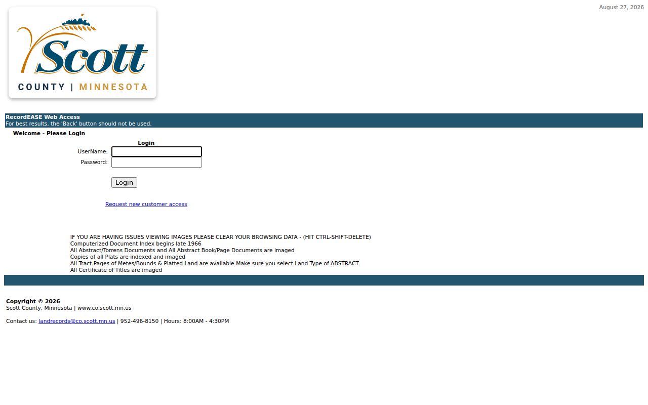
For older materials and image or copy needs, confirm access and current charges with Land Records or RecordEASE instead of relying on a past fee sheet.
The county's public page says plat maps can be viewed and printed online, while other documents may need subscriber access or an office request. A specific records request may be sent through the county's data-request route when the needed public material is not available through the index. A custodian can provide existing public data but does not have to create a new house history.
Savage Property Records Outlast Streets
Street text alone is fragile in an old search. Scott County records tie instruments to legal descriptions, document numbers, plats, and tract references. The county's tract-index search is the route for plat, metes-and-bounds, and condominium tract research. It is especially useful when a later subdivision, parcel split, or different address form makes the current street string a poor match for an earlier deed.
The tract index does not replace the deed chain. It gives the land description another way to reconnect a document with the correct lot, block, plat, or tract. Compare the legal wording to the PID and parcel map before joining a person to the house. A similarly named street or an adjacent lot is not enough.
The county tract-index page is the appropriate source for that legal-description route.
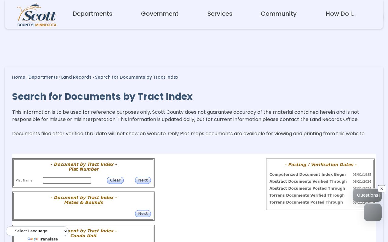
Using the tract reference alongside the PID reduces the chance that a changing street label breaks the trail.
Pair Savage Past Residents with Census
A deed usually identifies a transaction party. To test who lived at the address, pair it with a directory year, a census schedule when publicly released, and a dated notice. The Savage Directory Book gives the fuller collection context; for a house trail, request the exact Savage volume and record the printed address, name spelling, phone, volume type, and page. White pages can associate a person and address, but they do not list every household.
- Choose a deed or sale date and look for the nearest available telephone-directory year.
- Transcribe the entry exactly, including street number and the kind of volume, then check the next earlier and later volume for a change.
- Use the census only for a released census date. It can show a household at that date but cannot fill the years between enumerations.
- Check newspapers, obituary cards, and probate material for an event that explains a move, death, inheritance, or personal representative relationship.
Federal census release follows a 72-year rule. SCHS holdings identify Minnesota and federal census material primarily from 1857 to 1920, so confirm the exact reel and year before treating a missing result as meaningful.
Savage Resident Directory Years
The MNHS telephone-directory finding aid verifies Savage print holdings for 1936, 1938, 1941 through 1945, 1949, 1953, 1957 through 1964, and later decades. It also records duplicate holdings, yellow-pages-only volumes, and later fiche entries. A requested year should therefore be identified by its exact print or fiche row. The research did not verify a complete separate reverse-directory run for Savage, so do not promise an address-to-name lookup for every year.
The Scott County Historical Society research library offers a second dated household layer through Savage newspaper microfilm from 1962 to 2014 and card files for obituaries and announcements.
A newspaper notice can place a family, event, or address in time, but it should be read with the issue date and the source's purpose in mind.
Obituary and probate material are useful endpoints. A probate file may identify a personal representative or heir, and an obituary can suggest relatives or a death date. Neither proves that an heir lived in the Savage property. Request the original court or newspaper material before drawing that conclusion.
Savage Resident History Under Hamilton
Savage's earlier name was Hamilton, changed in 1904. That is a practical address-search issue, not just a local-history detail. Older deeds, newspapers, directories, maps, and subject files may use Hamilton, Hamilton Landing, or Credit River terms rather than Savage. Search those historic forms along with the legal description and old subdivision or plat wording when the modern name produces a blank result.
The Scott County history resources provide local research context for this continuity problem.
There is no verified Savage street-renumbering list, so a legal description and PID are safer bridges than guessing that two similar street labels represent the same house.
Savage Previous Resident Research Limits
No official Savage-specific house-history guide was located. The workable local approach is a combination of county deeds and plats, city permit requests, MNHS directory services, and SCHS newspapers, maps, cemetery material, and local files. MNHS offers paid city-directory search requests and remote research, useful when a person cannot inspect a listed volume. Ask for a name, address, year, and volume rather than requesting a general resident search.
Sanborn coverage should be described carefully. SCHS identifies Sanborn maps for Shakopee, Belle Plaine, and Jordan, but no Savage Sanborn set was confirmed in the research. A map for another town is not evidence about a Savage house. Similarly, Savage permits are advertised from 2017 forward through the city public-data route; the dynamic search screen and its exact result fields were not verified.
Note: Keep a citation log with the PID, legal description, document number, volume year, page, and access date so a later reader can check each conclusion.