
Search a Savage Street Directory
For a current Savage street search, begin with the property address and build outward. Scott County keeps the parcel and tax trail, while the City of Savage receives address-keyed permit and public-data requests. The process does not turn an address into a list of everyone connected with it. It does create a defensible record trail from the physical parcel to the instruments and historical sources attached to it.
- Enter the house number and the first few characters of the street in the Scott County property portal. Copy the nine-digit PID, situs address, legal description, and any sale or recorded-document reference.
- Open the same address or PID in ScottGIS3. Confirm the parcel outline, then click the target and touching parcels if the question concerns the immediate block.
- Use the PID or a document number in the Land Records index. Related-document searching can connect an instrument to other recorded items.
- For address-specific city material, use the permit route or submit a focused public-data request. The City advertises permit searching for 2017 forward.
- For an older name at that address, request the relevant telephone-directory volume and then compare it with newspapers, census material, deeds, or probate records.
That sequence separates the parcel trail from the personal history trail. The county record can identify a taxpayer or a party to an instrument. It cannot, by itself, establish who occupied a home on a particular day.
Savage Street Search Property Fields
The Scott County Property Information route accepts either an address or a PID. In address mode, enter the number plus the first few street characters. In PID mode, enter all nine digits without spaces. Do not combine the two. The portal defaults to the current tax year, is updated weekly, and is reference-only. Its official materials confirm address and PID search, not a public owner-name search.
| Search control | Format | Use in a street search |
|---|---|---|
| House number | Numeric address portion | Narrows the situs search. |
| Street text | First few street characters | Pairs with the house number in address mode. |
| PID | Nine digits, no spaces | Direct key for one parcel, used instead of address input. |
| Tax year | Current year by default | Sets the tax-year context for the returned parcel data. |
| Result parcel | Linked record | Opens legal, tax, building, sale, document, and valuation details. |
The distinction between situs and mailing address matters. Situs is the parcel's physical location. A mailing address is where tax correspondence goes and may be outside Savage. An exemption or homestead indicator is a tax classification, not a statement that a named person currently lives at the address.
Scott County's public property portal is shown below. Use the returned PID as the stable cross-record key, then confirm the legal description before treating two similarly written addresses as the same parcel.
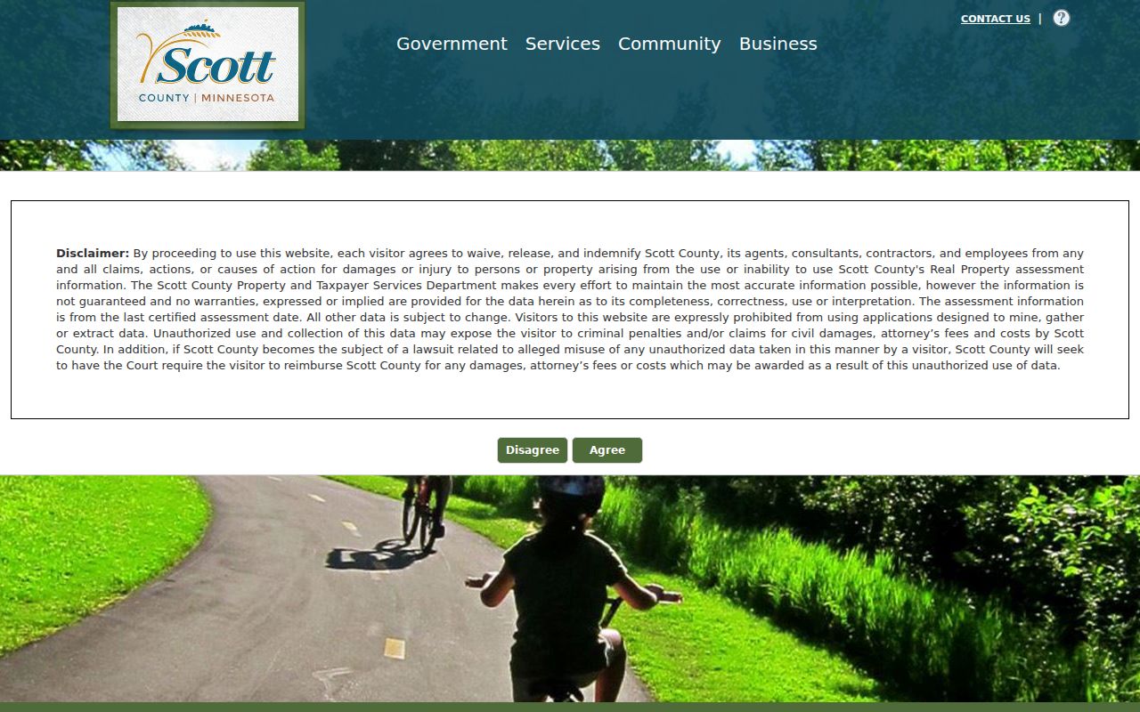
The portal is a useful first check for the Savage street directory, but its weekly update and reference-only notice make the Land Records index or custodian the next step when a date matters.
Map a Savage Street Directory
ScottGIS3 adds the map context the property portal lacks. Its search text can accept an address, name, PID, intersection, section, or coordinates. The search-dataset menu includes Address Points, Parcels: PID, Parcels: Taxpayer Name, Sections, Street Intersections, and Esri Search. For a known street address, locate the parcel, turn on parcel outlines and an aerial or other relevant layer, and use map identify to open property information.
| Parcels: PID | Finds the mapped parcel once the county key is known. |
|---|---|
| Parcels: Taxpayer Name | Offers the county's taxpayer-name route when a property-portal name search is not documented. |
| Map identify | Click a parcel to open parcel and property information. |
| Layers | Include parcels, aerials, tax and property layers, flood, soils, wetlands, districts, and land-record links. |
For a street-by-street view, pan from the target parcel to the parcels that touch it and click each one. Save the date of the map view because layers change. The research did not confirm a current one-click buffer or radius tool, so an adjacent-parcel list should be built by this visible, repeatable click method.
The Scott County maps hub introduces the county's mapping resources. It is the better place to confirm a parcel boundary before reading a taxpayer field as a street-level conclusion.
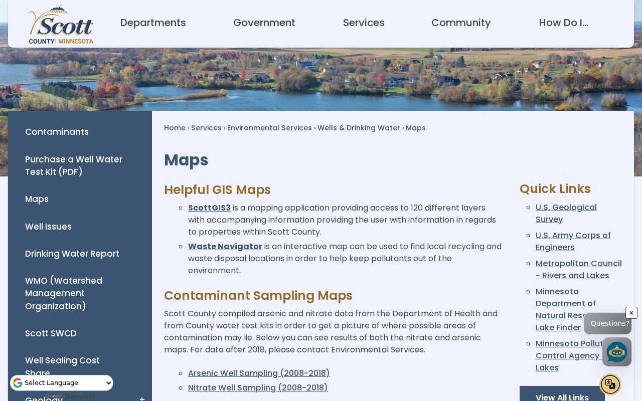
ScottGIS3 also offers zoning, flood, soil, wetland, district, and land-record layers. Those layers describe land and jurisdiction, not the members of a household.
Savage Address Records by Street
A Savage street directory works best as an address-keyed coverage chart. The street number and name lead to the parcel. The PID leads to property, GIS, and document records. A legal description can then bridge to a plat, lot and block, predecessor parcel, or tract-index search. Each source records a different event, so the date and record type should stay with every note.
| Address-keyed source | Custodian | What it can show | Access |
|---|---|---|---|
| Parcel and tax card | Scott County property portal | PID, situs, legal description, building, valuation, tax, exemption, and sale fields | Free public portal, weekly update, reference-only |
| GIS parcel | ScottGIS3 | Boundary, PID, taxpayer or property links, and map layers | Free public viewer |
| Deed and mortgage index | Scott County Land Records | Indexed parties, instrument dates, document numbers, and related documents | Free public index from 03/01/1985; images vary |
| Plat, condo, or RLS search | Scott County Land Records | Plat names, legal geography, and registered land survey references | Public search with posting limits |
| Building permits | City of Savage | Address-keyed project information when public | 2017 forward search advertised; request route available |
- Parcel
- A mapped unit of land used by county property records.
- Situs address
- The physical location used for a parcel, which can differ from tax-mailing information.
- Plat
- A recorded map dividing land into lots or blocks.
- Criss-cross directory
- An address-ordered directory. No complete separate Savage reverse run was confirmed in the MNHS finding aid.
Note: A street string can change form over time, while the PID and legal description provide a more durable connection across county records.
Savage Deed Records Along a Street
Scott County Land Records records deeds, mortgages, assignments, releases, plats, liens, and related real-estate instruments. Its public document index has separate routes for Parcel ID, Document Number, and Related Documents by Document Number. The computerized index begins March 1, 1985. It is updated daily and is reference-only, while separate abstract and Torrens posting dates warn that recent documents may not yet appear.
Start with the PID or a document number from the property record. A document number can lead to related instruments, while the legal description can support a tract-index search for plats, metes-and-bounds land, or condominium material. RecordEASE is the subscriber and office fallback for PID, document, related-document, and tract-index functions. Plat maps are available to view or print on the public website; other images, older material, and certain copies can require RecordEASE or an office request.
For the full address trail before printed directories, see the Savage Directory Book. It covers the telephone-volume holdings without treating an unverified reverse directory as if it exists.
Savage Permit Records by Address
The City of Savage lists a paperless permit and ePlans process for work ranging from additions and remodeling to decks, driveways, roofs, mechanical work, solar, pools, and demolition. A permit form can include the site address, parcel ID, lot, block, subdivision, project description, owner contact, applicant or contractor information, and subcontractor fields. It documents a project and listed participants. It is not evidence that every named person lived at the site.
The city advertises permit searching for 2017 to the present through its public-data route, but the exact public search screen and result columns were not confirmed. Use the Savage public-data request page for a focused address request when the available search does not answer the question. State the street address, date range, and permit category. Actual cost and public classification can affect the response.
Savage Street Address Voter Checks
The Minnesota Voter Status Check is an individual match tool, not a Savage street roster. It requires first name, last name, date of birth, city or township, house number, street, and either ZIP or county geography. A unit may also be required. Results confirm a registration and provide status guidance, with data updated nightly and processing sometimes taking longer.
Minn. Stat. §201.091 limits voter-list use, copying, publication, and sale. It excludes full dates of birth and identifiers from the public information list. A match at one address does not reveal every person on the block. Use the exact registered spelling and treat a nonmatch as a reason to check the address or registration route, not as proof that a person is absent from Savage.
Note: The voter-status form needs a named person and date of birth, so it cannot be used to build a street-by-street list.
Older Savage Streets in Directories
For past addresses, the MNHS Scott County telephone-directory collection is more useful than a current map. Savage print rows begin with 1936 and continue in selected runs through 2005, with duplicate print identifiers, yellow-pages-only years, and some microfiche years. White pages generally give a name, telephone number, and street address. Yellow pages are business-subject listings. Neither format proves that every person at an address was listed.
A city directory entry should be copied with its volume year and page. Compare a spelling, phone number, and street number with the next earlier or later volume, then use newspaper microfilm, obituary cards, census material, deeds, or court papers to test a change. The MNHS finding aid confirms telephone books, but not a complete, separately identified Savage criss-cross run.
Hamilton Addresses in Savage Records
Historical address work has a local geography problem. The community was known as Hamilton before it was renamed Savage in 1904. Early deeds, newspapers, maps, and directories may therefore use Hamilton, Hamilton Landing, Credit River, Minnesota River, or rail and Depot references instead of the modern city name. The safe bridge is the legal description, plat, predecessor parcel, and county tract index rather than a street string alone.
No verified Savage street-renumbering list or E911 readdressing project was found in the reviewed sources. When an old address will not match a current map, compare neighboring parcels and subdivision names. The Hamilton-to-Savage shift is a practical reason to search both names, not proof that a modern parcel had the same street number in an earlier era.
Requesting Savage Street Records
The Minnesota Government Data Practices Act, Minn. Stat. ch. 13 and especially §13.03, presumes government data are public unless another law classifies them otherwise. Scott County says any person may request public data without providing a reason or identification and offers a county data-request portal. The custodian may provide inspection, copies, or a lawful denial that cites the governing classification.
Ask for an existing, clearly described record rather than a new research report. Include the Savage address, PID if known, record type, and date range. Inspection of public data is free, while copies can carry permitted actual costs. The MGDPA does not require a custodian to create a record, answer a broad research question, or disclose data that are private, confidential, nonpublic, or protected.
Savage Street Directory Limits
A Savage street directory cannot supply a private household list. Private occupants, household members, unlisted telephone numbers, utility customers, postal or delivery information, protected voters, and Safe at Home participants are unavailable or restricted. Motor-vehicle address data are protected by federal DPPA rules and Minn. Stat. §168.346. Property records, voter matches, and directory lines are dated records with different purposes and omissions.
Lawful use. Use Savage address records for lawful personal research, civic curiosity, family history, or property questions. Minnesota law prohibits stalking and harassment, and public records never authorize following, threatening, or pressuring another person.
Safe at Home participants use designated mailing addresses and have protected voter treatment under Minn. Stat. ch. 5B. Do not attempt to identify or publish an actual protected location. If a record appears wrong or exposes a prohibited identifier, ask the relevant county, city, or court custodian about its correction or redaction process.